
Frontiers Forum Deep Dive series
A Digital Twin of Earth’s water cycle: progress and promise
29 May 2024 | 16:00-17:30 CEST
At this event, renowned researchers delved into the groundbreaking Digital Twin Earth Hydrology Platform — exploring how it can enhance flood and landslide prediction and optimize water resource management in the face of climate change.

Speakers
-

Dr Luca Brocca
National Research Council, Italy
Read bio -

Dr Lorenzo Alfieri
CIMA Research Foundation, Italy
Read bio -

Dr Giriraj Amarnath
International Water Management Institute, Sri Lanka
Read bio -

Dr Mariette Vreugdenhil
Vienna University of Technology (TU Wien), Austria
Read bio -

Prof Ilias Pechlivanidis
Swedish Meteorological and Hydrological Institute, Sweden
Read bio


Mapping the future of water resources with high-resolution Earth observations
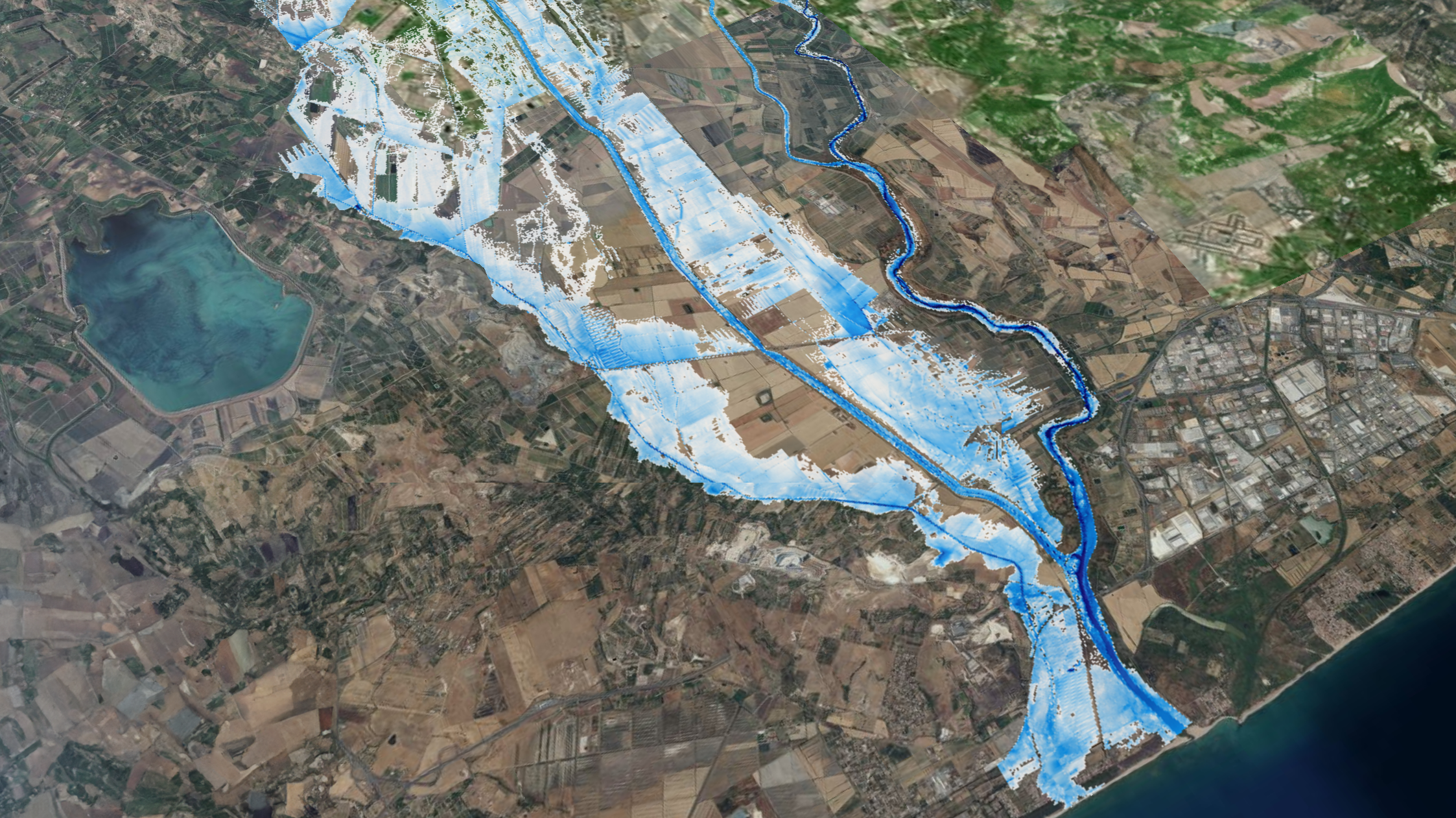
This event explored how the Digital Twin Earth (DTE) Hydrology Platform, funded by the European Space Agency, uses next-generation satellite data to create groundbreaking virtual replicas of the terrestrial water cycle.
The presentations and discussion in this Frontiers Forum Deep Dive session, built on a Frontiers in Science lead article showcasing the unprecedented resolution and accuracy of DTE models for the Mediterranean Basin. The speakers will discussed steps for expanding these to a global scale, and their applications in enhancing flood and landslide protection and optimizing water resource management.
Session program
Introduction | A digital twin of the terrestrial water cycle
Dr Luca Brocca
Dr Lorenzo Alfieri
High-resolution satellite products for hydrological modeling
Dr Mariette Vreugdenhil
Building a high resolution EO data cube
Panel discussion
Charting a path forward - Audience Q&A
Speaker and contributor bios
-
Luca Brocca
Director of Research
National Research Council, Research Institute for Geo-Hydrological Protection of (CNR-IRPI), ItalyLuca Brocca is a researcher at the forefront of hydrological innovation, developing innovative methods to leverage satellite observations for tackling critical issues such as floods, landslides, drought, and agricultural challenges.
As Principal Investigator and co-PI, Luca actively leads multiple high-impact research projects funded by the European Commission and prominent Space Agencies, including ESA and EUMETSAT.
In 2018, his remarkable SM2RAIN algorithm, designed for accurate precipitation and irrigation estimation, earned him the prestigious BayWa Smart Farming Challenge at the Copernicus Masters. He was recognized as a ‘Highly Cited Researcher’ by the Web of Science Group – Clarivate in both 2019 and 2020, and his work in the field was further acknowledged in 2021 with the ESA–EGU Earth Observation Excellence Award.
-
Lorenzo Alfieri
Researcher in flood risk management – Hydrology and Hydraulics
CIMA Research Foundation, ItalyLorenzo Alfieri is a leading researcher specializing in natural hazards, flood mapping and disaster risk assessment, and climate change adaptation. A core developer of the European (EFAS) and Global (GloFAS) flood early warning systems through the Copernicus Emergency Management Service, his work delivers real-time data to advance innovative strategies for a resilient global community.
With over a decade of experience in international organizations such as the European Center for Medium-range Weather Forecasts (ECMWF) and the Joint Research Center (JRC) of the European Commission, Lorenzo’s work has featured in top journals and media like The Guardian and El Pais, and in the IPCC special report on the impacts of global warming of 1.5 °C.
-
Mariette Vreugdenhil
Senior Scientist in Remote Sensing
TU Wien, AustriaMariette Vreugdenhil is an Earth scientist and remote sensing expert working on the retrieval and analysis of land surface variables from Earth observation data to improve our understanding of land surface processes in a changing climate, and to mitigate risks related to natural disasters.
Based at TU Wien, her research has centered on high resolution soil moisture and drought monitoring, modellng and flood prediction using the Digital Twin Earth Hydrology Datacube.
-
Giriraj Amarnath
Principal Researcher
International Water Management Institute (IWMI)Giriraj Amarnath is a researcher specializing in the application of remote sensing and geographic information systems to assess a wide range of natural hazards and for monitoring land and water resources in Asia and Africa.
Giriraj has is a leading supporter of Sentinel Asia and won the World Geospatial Excellence Award in 2020. He is also working with the CGIAR Research Program on Water, Land and Ecosystems (WLE).
-
Ilias Pechlivanidis
Senior Researcher
Swedish Meteorological and Hydrological Institute (SMHI), Sweden
Ilias Pechlivanidis is a senior researcher in hydrology and water resources, and a leads the Analytics and Dissemination Centre for the Copernicus European Flood Awareness System. Additionally, he coordinates seasonal forecasting services in Europe and globally.Ilias holds several senior positions, including being as a member of the World Meteorological Organization Research Board, Co-Chair of HEPEX, a Reference Member at the Centre of Natural Hazards and Disaster Science, and the first Earth Observation Evangelist for agriculture at the FIRE forum.
